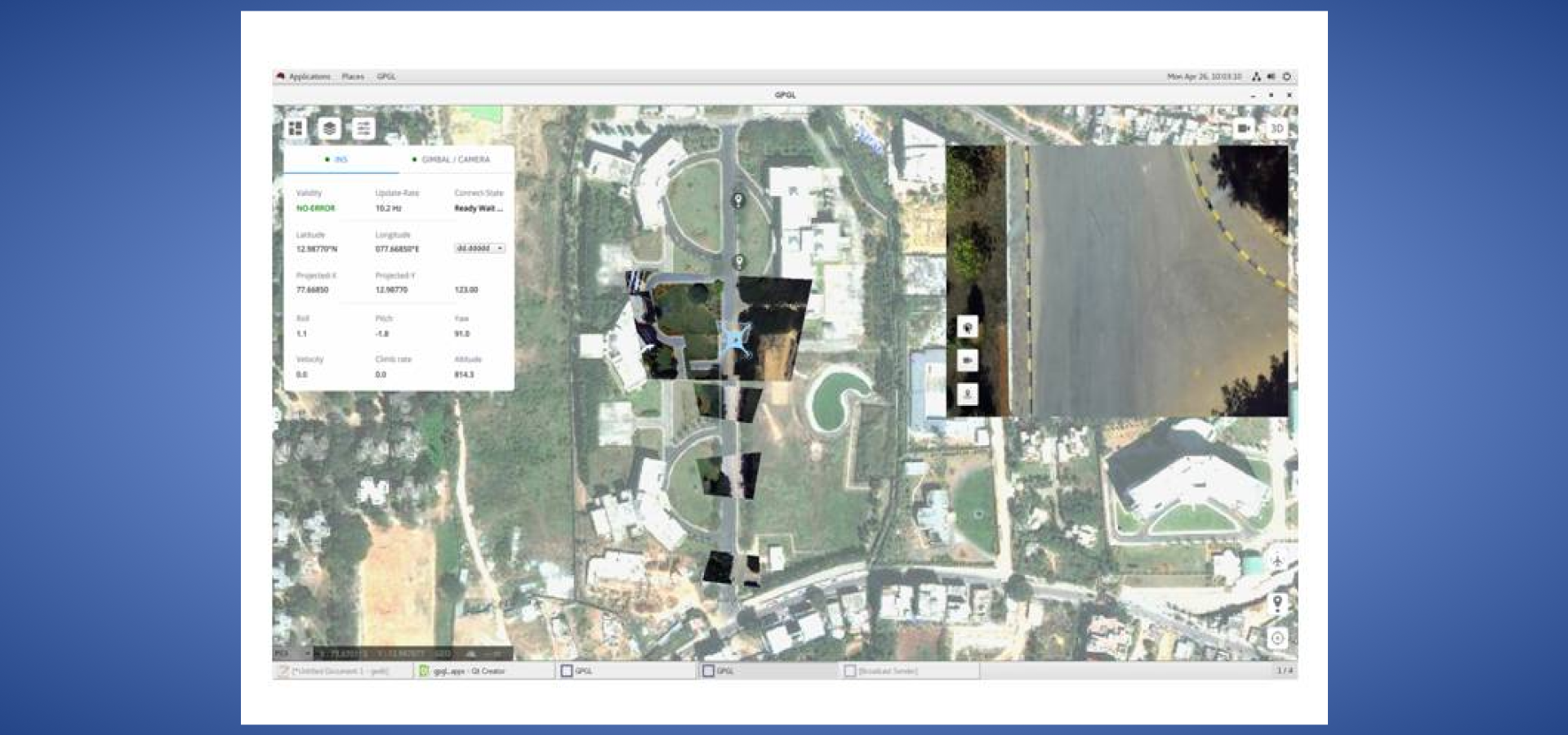
Product: Geopointing & Geolocation solution based on INDIGIS
For reconnaissance, surveillance, target detection & automatic target tracking from airborne platforms, imaging sensors are fitted in the belly of the airborne platform that provide the video/updateto the operator. CAIR has developed a solution for Geo pointing 9GP) and Geo location (GL) that is deployed this aerial platform. The actuating parameters of the gimbal have to be computed to “look” at the targets of interest forGP. In the GL scenario, the problem is to compute the location of a target that is being currently “pointed”/tracked by the sensors. Electro Optic Sensor System after integration with the GIS software has undergone successful trials. Currently technology is available as proprietary firmware embedded in sensors and functionally equivalent software is not available in the commercial or military systems.
Salient Features:
- Indigenous and Encumbrance free GIS Enabled Geo Pointing and Geo Location
- Integrated with airworthy system
- Accuracy of 2.5 mrad
- Geo Location using map and terrain data
- Map to image registration
- Video registration
- First of its kind, software implementation of GP and GL
Application of the Product :
Reconnaissance, surveillance, search and rescue, target detection & automatic target tracking from airborne platforms
Trials:
- Field tested
- Trials conducted successfully at ATR, Chitradurga
- Import Substitute for COTS GPGL embedded hardware

